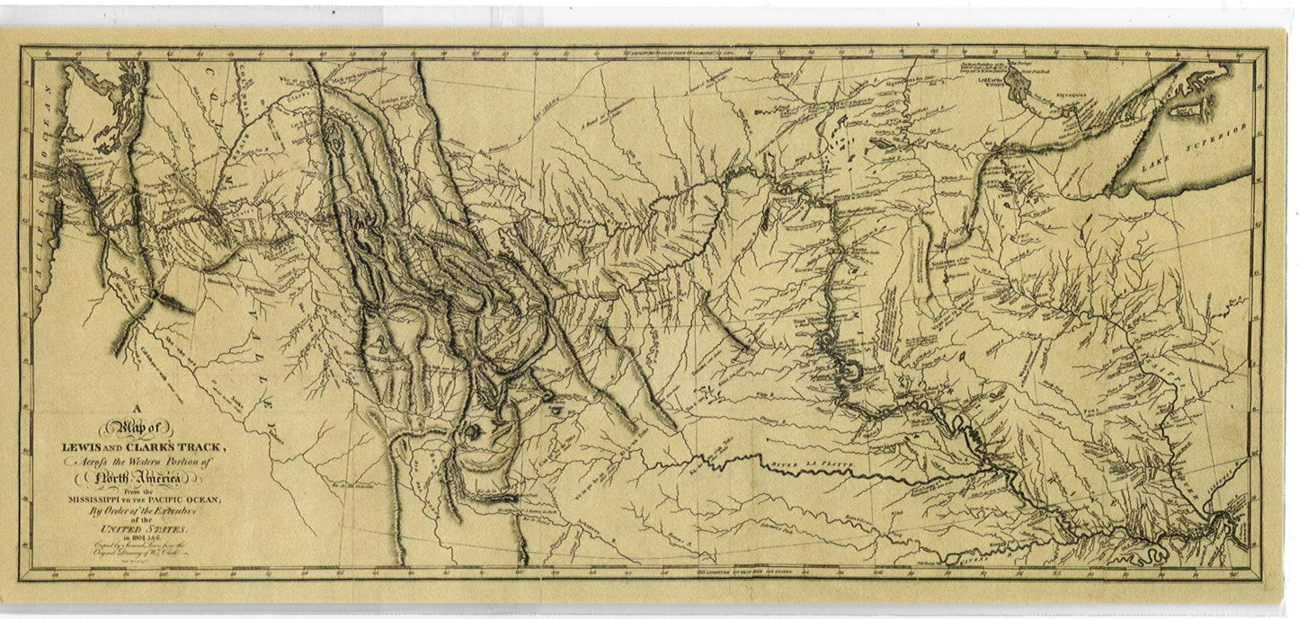
Map: Track Map SM
Clark's Track Map, 5.5x12. Full Title: A Map of Lewis and Clark's Track, Across the Western Portion of North America From the Mississippi to the Pacific Ocean; By Order of the Executive of the United States, in 1804, 5 & 6. Copied by Samuel Lewis from the Original Drawing of...
Want to read more? Become a member!
Sign up to become a member and unlock the full content. Already have an account? Sign in